GIS solutions
Fast, precise and high-quality data processing
Accurate GIS mapping
We map and structure spatial data into a digital database, covering all relevant features within your project area. This includes municipal infrastructure (roads, pedestrian paths, public lighting, monuments) as well as detailed green infrastructure data such as trees and urban green spaces.
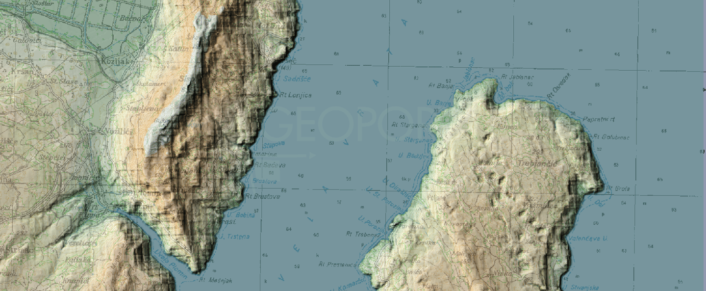
Data processing and analysis
We provide fast and reliable processing and analysis of spatial data using advanced GIS tools. Our workflows ensure accurate results that support planning, decision-making, and project development.
We transform, structure, and manage spatial data into well-organised and high-quality databases, accessible in both online and offline environments.