3D scanning
Photogrammetry and LiDAR
Photogrammetry Services
Using state-of-the-art UAVs (drones) and advanced GIS tools, we provide a range of professional photogrammetry services:
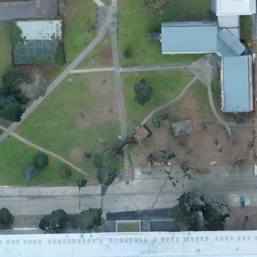
drone surveying and aerial capture of the required area
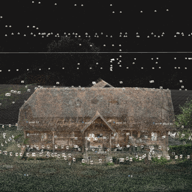
processing of imagery and creation of photo and video datasets
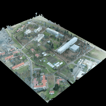
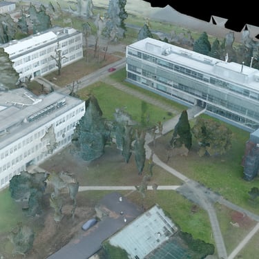
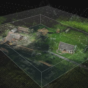
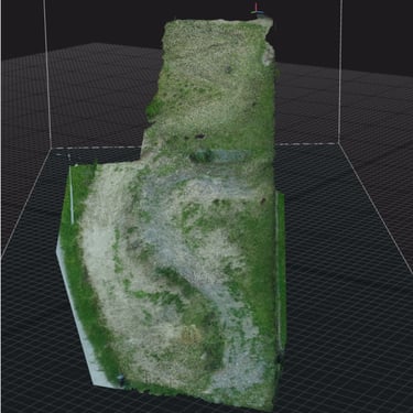
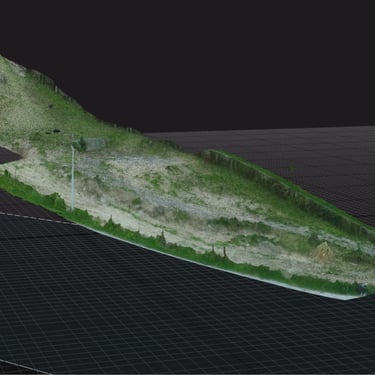
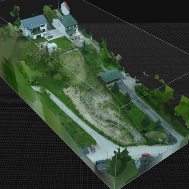
development of high-resolution 3D models
production of physical scale models based on 3D data
In line with advanced digital and green practices already successfully implemented across Croatia, we offer an integrated service for municipalities and cities focused on 3D modelling and physical model production of settlements or specific urban zones.
We perform aerial surveys of town centres or selected areas and develop detailed digital 3D models. In addition to digital outputs, we also provide 3D printing services, enabling the creation of physical scale models of settlements. These models are ideal for public presentations, investor communication, and municipal exhibition spaces.
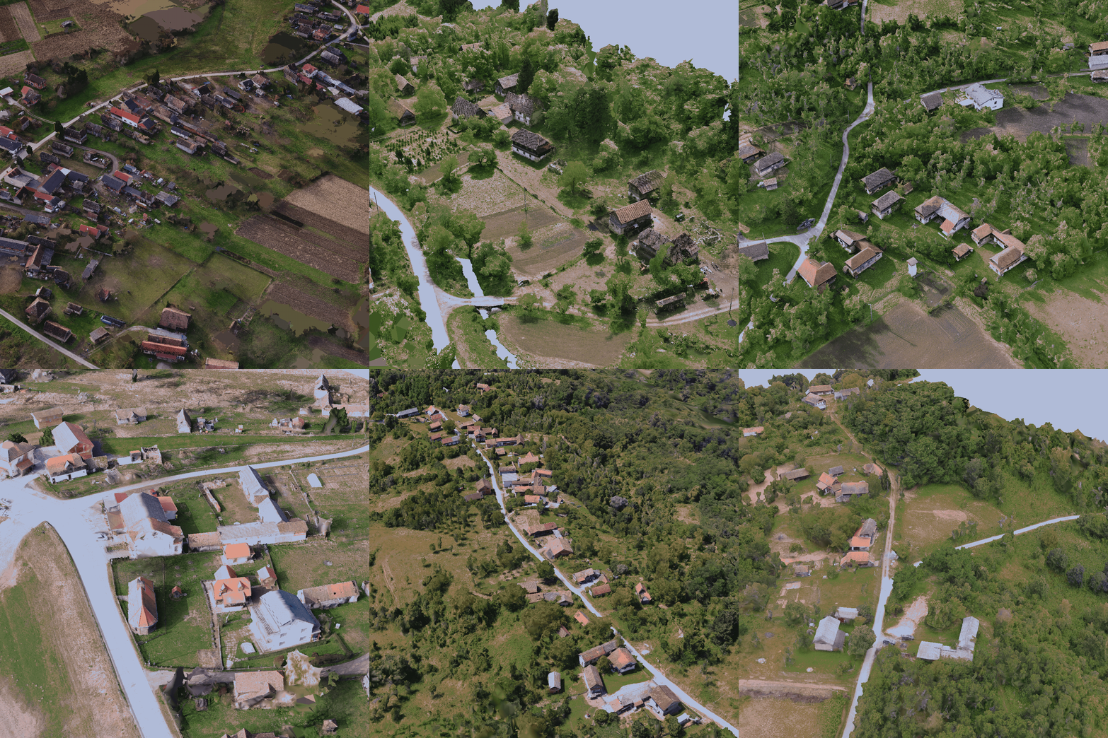
3D scanning and models